Department of Finance
North East Quadrant

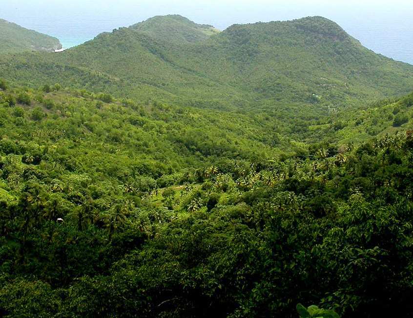
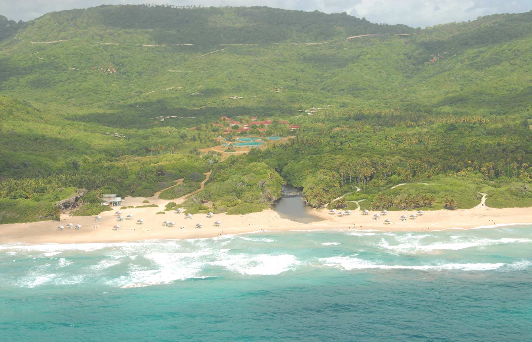
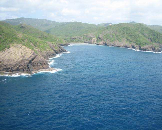
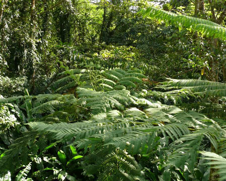
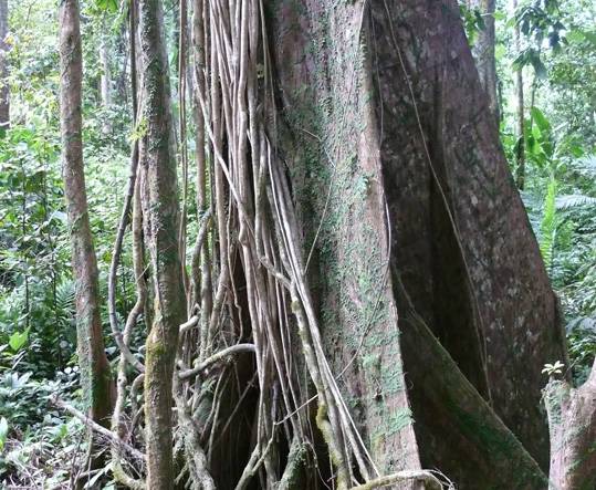
The North-East Quadrant is home to approximately 13,458 people, making it the most sparsely populated portion of the country. Spanning the length of the Babonneau, Grande Anse, and Dennery communities, these 10,440 acres have vast potential for tourism, largely owing to the pristine environment and picturesque landscape.
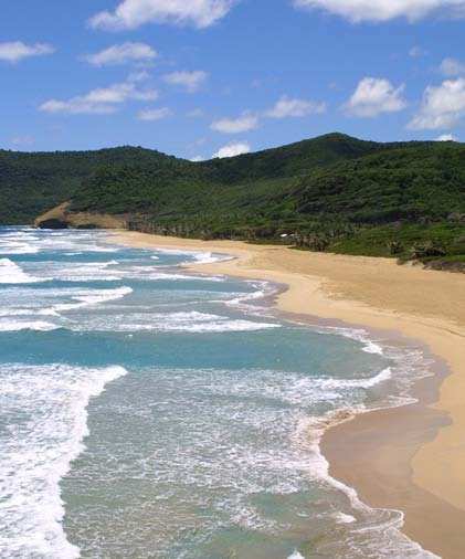
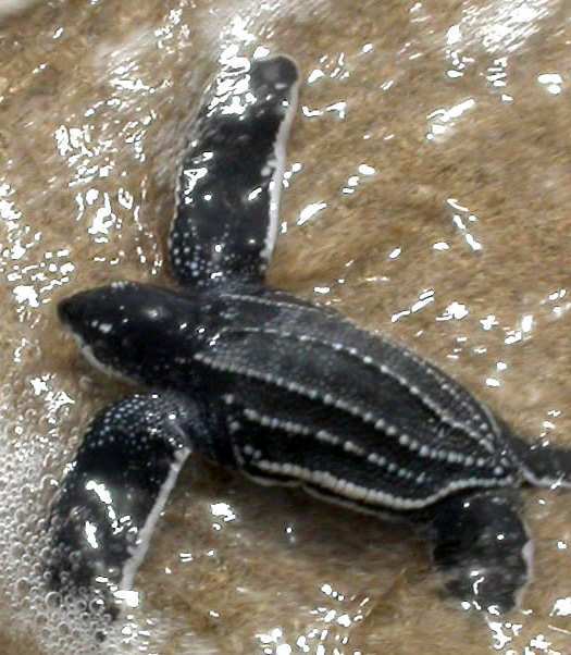
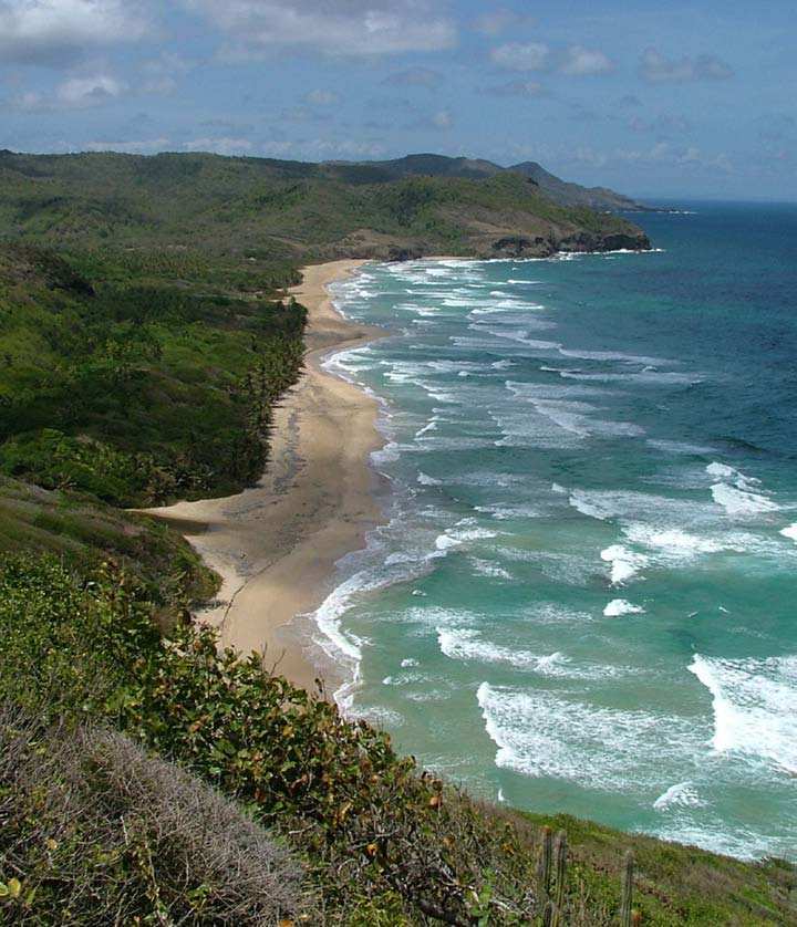
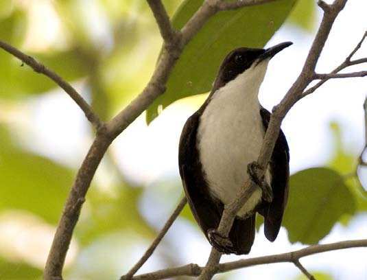
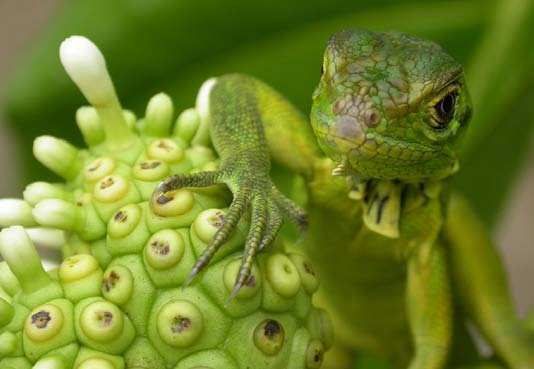
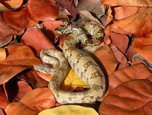
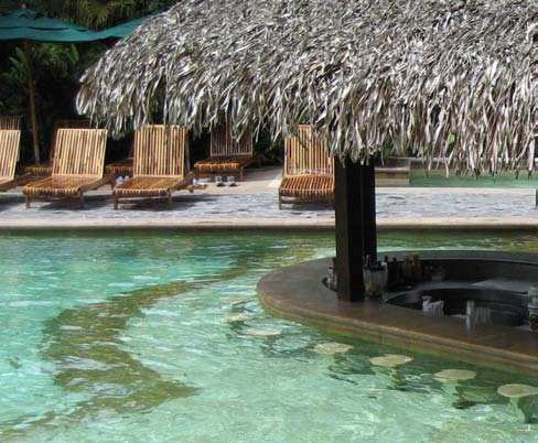
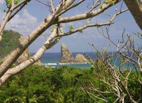
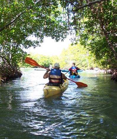
The La Sorciere Mountain is regarded as a mystical place among locals, and the surrounding area is particularly popular among nature lovers. The North-East Coast is a very secluded area, home to many sensitive species including many of Saint Lucia’s iguanas and leatherback turtles. Fishing and agriculture dominate the economic activity of this area, but an enormous opportunity for tourism exists, particularly in the ecotourism market. A select number of ecotourism developments, such as eco-resorts, near the Grande Anse, Marquis, Anse Louvet, and Fond D’Or areas will serve as a catalyst in generating interest in the quadrant.
Overall growth in tourism activity can be encouraged simply by expanding and enhancing existing activities. This in turn will generate employment and provide valuable entrepreneurial opportunities to residents, while driving the growth of inland residential communities.
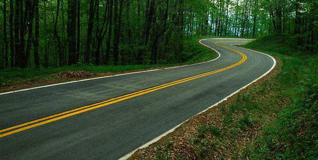
Initial goals for this quadrant include a new road (parkway) providing access throughout quadrant, new housing settlements, a water intake initiative, and new ecotourist developments. All of this will need to be done in a sensitive manner, as to not destroy the areas natural features and fragile habitats along the coast.
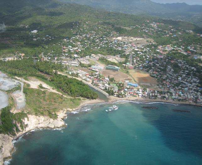
BABONNEAU REGION
BACKGROUND
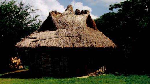
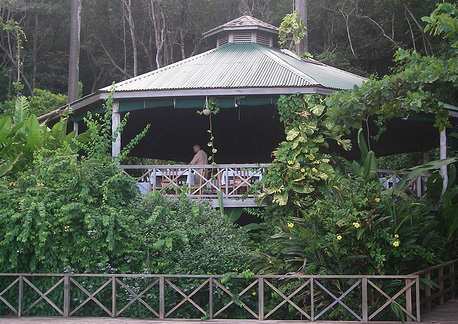
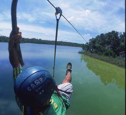
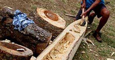
The Babonneau Region includes a group of small farming and residential communities surrounding Castries, as well as some spectacular, rugged eastern coast lands- an area historically known as Dauphin. This region is steeped in African tradition and cultural heritage, with evidence of the presence of Amerindians as well. Dei ned by a deep sense of community, Babonneau diligently preserves its “Kweyol” heritage. Much of this can be absorbed at the Fond Latisab Creole Park, where demonstrations of traditional Saint Lucian cooking, i shing, and music making are on display for the inquisitive visitor. Saint Lucia’s oldest sugar plantation, Marquis Plantation, still operates as a working banana estate. Guest may explore the forest at La Sorciere Mountain from the sky in the rainforest aerial trams. Visitors are often drawn to the region to visit Grande Anse beach, near the small community of Des Barras, where leatherback turtles are known to come ashore during breeding season to lay their eggs.
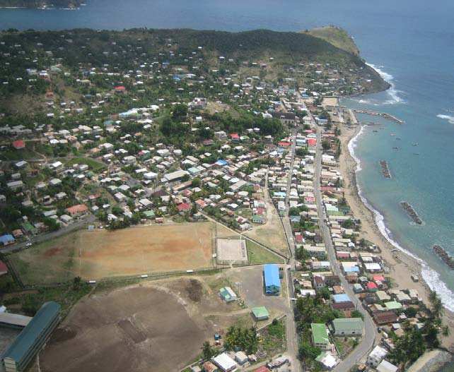
DENNERY REGION
BACKGROUND
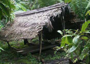
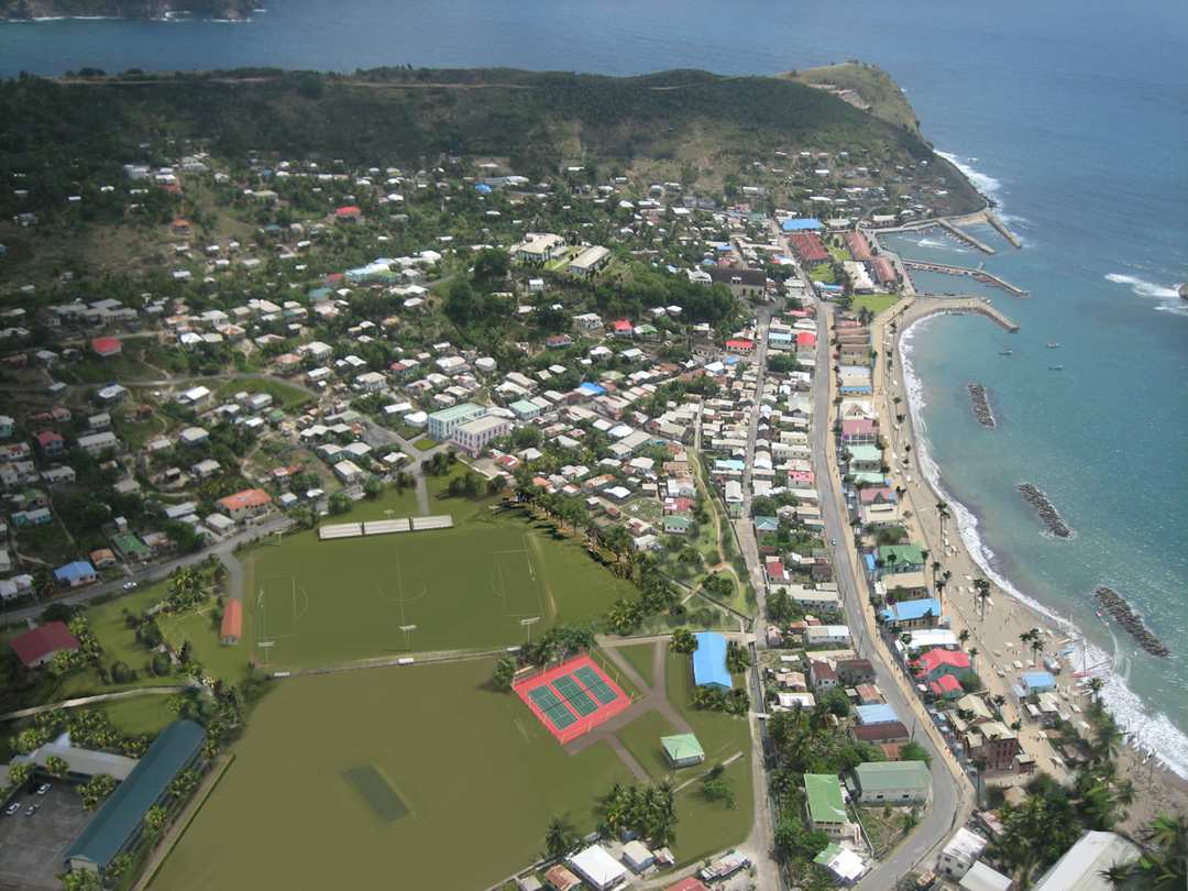
As one of the busiest i shing communities on the island, Dennery is a pastoral reminder of Saint Lucia’s agricultural roots. Possessing the largest i shery on the island, i shing is the backbone of Dennery’s economic and social activity; some of the largest of the Atlantic catch is brought in of the coast of this region. With its focus on both community and i shing as the primary livelihood, it comes as no surprise that residents of Dennery congregate weekly on the village’s main streets for a lively Saturday Night Fish Fry. This energetic gathering expands to include sailing, games, and fresh Atlantic i sh each year, on the last Sunday in June. The Mabouya Valley area is the largest valley on the east coast of the island and the central producer of much of its sugar, rum, and bananas. A labyrinth of secret trails, tracks, and concealed paths, the Mabouya Valley was often trekked by former slaves on their journey to freedom.
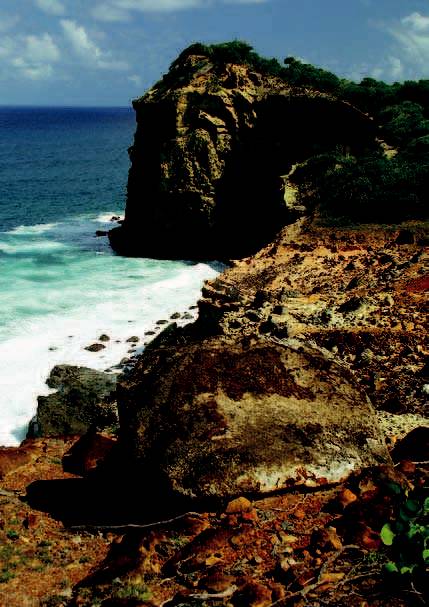
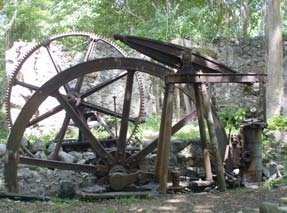
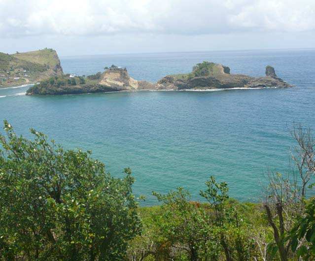
The Fond D’Or historic park celebrates Saint Lucia’s agricultural traditions with three individual displays of sugar processing methods: the cattle mill, the wind mill, and the steam engine. Errand Falls and Sault Falls are among the tallest and most attractive on the island, featuring a swimming area and organised tours, including a visit to the historic Errand Estate plantation house, a former spiceestate. Notably, the region is also the breeding ground of the largest living sea turtle, the leatherback turtle, who comes ashore seasonally to lay their eggs at Anse Louvet. This secluded beach features an extraordinary natural blowhole, an impressive spectacle for visitors and locals alike.
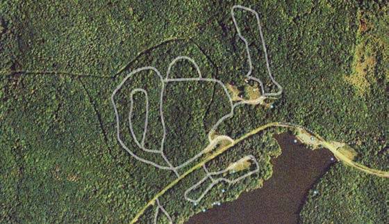
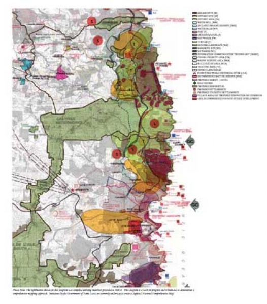
NORTH-EAST COMPOSITE DIAGRAM
The North-East Quadrant is extremely rich in natural resources, wildlife habitats, marine reserves and wetland, as well as historic sites as shown here in the in process composite map. (Overlaying information provided by the Saint Lucia Ministry of Economic Af airs, Economic Planning, Investment, and National Development (Special Projects Unit), Saint Lucia Forestry and Fisheries Departments, Sustainable Development Unit, Durrell Wildlife Conservation Trust, Saint Lucia National Trust.) As this area opens up to development and growth, important consideration must be paid to these sensitive environments, and strong guidelines must be established to ensure standards for scale, density, establishing zones preservation and strict requirements for setbacks and wildlife passages, in order to preserved these resources and habitats for generations to come.
Guiding principle set forth by the 2007 Development Conference document being to strike the delicate balance between maintaining the natural attributes and appeal of the area while at the same time developing its economic potential.
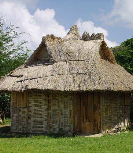
Gallery